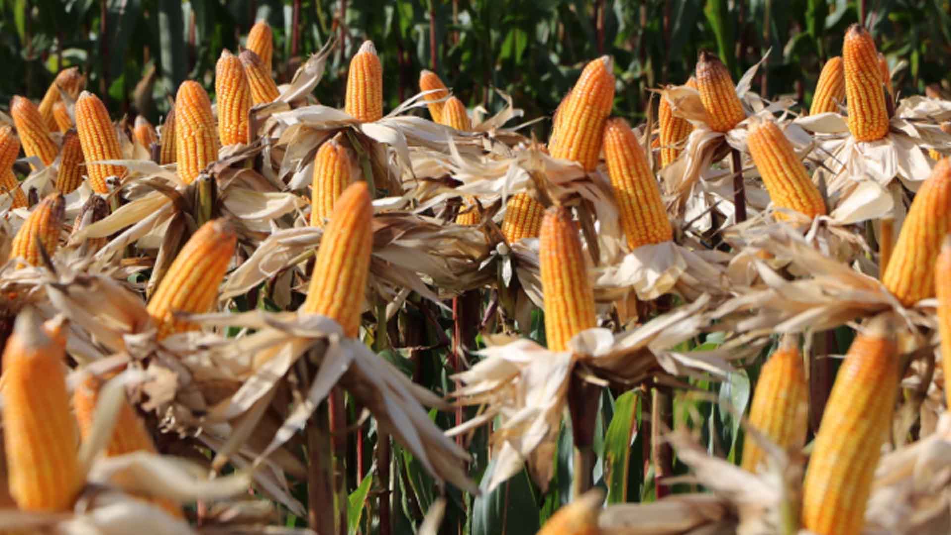
The Philippine Space Agency (PhilSA) and the Department of Agriculture (DA) will conduct joint research on crops, specifically onion and corn.
The two will map and monitor these crops using satellite data, PhilSA announced on Thursday, adding that farm to market roads will be monitored too.
Both agencies are eyeing to look at the corn farming in the province of Pampanga or Isabela, and onion farming in Nueva Ecija. Part of their collaborative research is the study of the location and utilization of farm to market roads in Pampanga and Nueva Ecija.
The pilot sites in Region III were selected due to the large area of corn and onion farns.
The study, PhilSa said, will focus on these crops to generate their geodatabases.
“Geolocation will enable more comprehensive analyses of crops on a larger scale by integrating it with other Earth observation data. This will provide, at the minimum, delineation and area statistics of these crops,” Arlo Jayson Sabuito, PhilSA Space Data Mobilization and Applications Division Science Research Specialist II, was quoted as saying.
More complex research can produce information such as cropping calendars, yield estimation, and damage assessments due to disasters such as drought and typhoons, Sabuito added.
Meanwhile, PhilSA said this joint research will start this year.
The results could help the government, non-government organizations, and farmers to make informed decisions on securing the country’s food production, it said. (PNA)


